04 Mar 2025
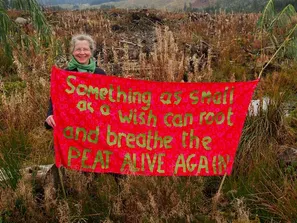
The WET-PEAT project supports Bord na Móna in the restoration of over 33,000 hectares of peatlands using state-of-the-art modelling techniques to a representative selection of Ireland’s peatlands to provide insight into how restoration measures may be enhanced.
To do this, researchers from the University of Galway and Trinity College Dublin work across five study sites (Castlegar, Ballycon, Clooneeny, Ballaghurt, and All Saints) using a mixture of on-site measurements and remote sensing to monitor bogs before and after restoration work.
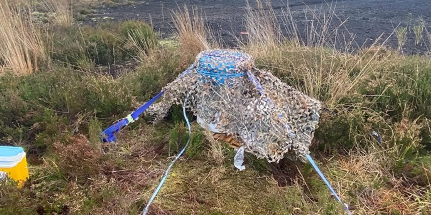
All sites are instrumented for water quality and flow measurements, and on some sites, greenhouse gas measurements are being collected. A water quality model has been developed, and its validation is currently ongoing.
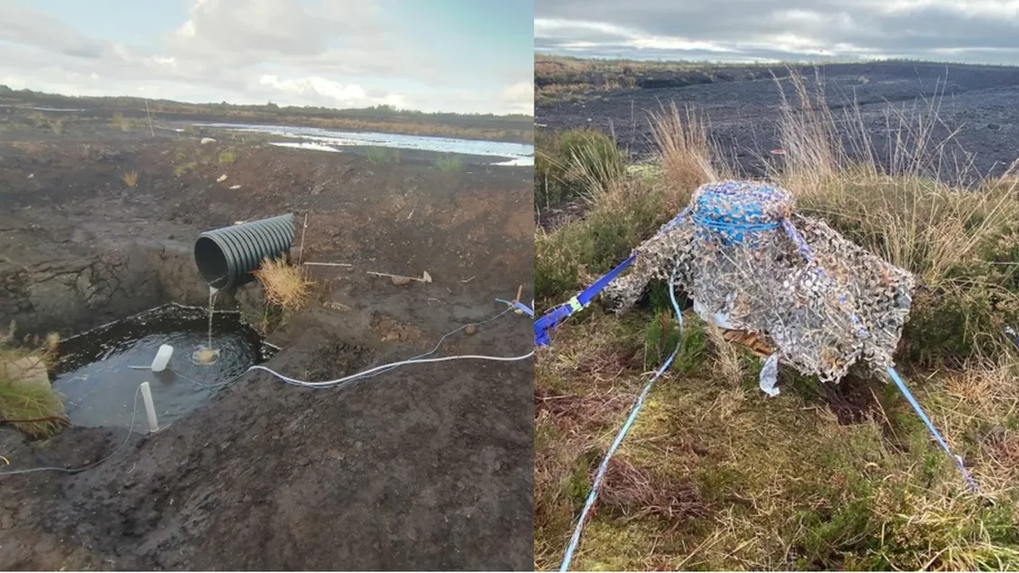
Automatic water quality sampling at Clooneeny & Castlegar
In addition, the researchers have developed a preliminary model that will allow water depth to be estimated based on remote sensing and machine learning techniques. Two papers were published based on the work to date, which can be accessed below:
- Silva et al., Biogeosciences 21(3): https://doi.org/10.5194/bg-21-3143-2024
- Opoku-Agyemang et al., 2025; Journal of Hydrology, 648, 132421: https://doi.org/10.1016/j.jhydrol.2024.132421.
The researchers have begun to complement this in-situ work with satellite remote sensing data. Using open access data and machine learning techniques, they are developing methods to remotely monitor water table depth and classify vegetation communities. This allows them to continuously monitor the restoration progress across the entire peatland.
To stay updated with the WET-PEAT project, you can follow the project on Twitter.